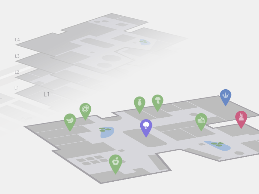
INTERACTIVE MAPS
A solution allowing maps to be developed based on the addresses entered through content management system.
KEY HIGHLIGHTS
- Runs with javascript (raphael), no flash required, support iPad and iPhone
- XML Data – States in alphabetical order
- Resizable map, you can change the size of the map directly in the XML file.
- Change all colors in XML.
- 2 versions included, navigate to URL or display text when state is clicked.
- State names abbreviations.
- Optional text area size and padding in XML.
- Activate/Deactivate each state independently.
- Full documentation included.
BENEFITS
You can add interactivity to the active regions:
You will be able to customise the visual of your maps:
If no width is specified it will load with the maximum width available in the container div. For example, it will load and adapt with different sizes for Phones/iPads/Laptops. However, after loaded it will not change size if you resize the window.
You can add active coloured regions to the map, and display them in 2 different ways:
You will be able to show hundreds of different kinds of maps, already included:
- A Tooltip- A tooltip will be displayed by default on hover with the information you provide.
- An Action? You can set up different kinds of action for when the user clicks in an active area. You can make a new URL open, or simply display a message. Advanced users will be able to create their own Javascript functions for customised actions.
You will be able to customise the visual of your maps:
- Background colour;
- Box border width and colour;
- Inactive regions colour;
- Individual colours for each active region;
- Markers size;
- Width and Height of the map;
If no width is specified it will load with the maximum width available in the container div. For example, it will load and adapt with different sizes for Phones/iPads/Laptops. However, after loaded it will not change size if you resize the window.
You can add active coloured regions to the map, and display them in 2 different ways:
- As Regions – It will colour the whole region, for example a continent, subcontinent, a country, a country province, or an Australian state;
- As Markers -It will display a coloured bubble in the chosen regions, that can be a city, a state or a country.
You will be able to show hundreds of different kinds of maps, already included:
- A map of the entire world.
- A continent or a sub-continent. (Africa, Europe, Americas, Asia, Oceania and all their sub-continents)
- A country (virtually all the countries in the world are included, featuring the most requested: USA, United Kingdom, Canada, France, Germany, Spain, Italy, Brazil, India, Australia…)
- A country divided by its regions.
- A state in Australia.
- A state in Australia divided by metropolitan areas.
© Copyright 2015-18 Data One Technologies